|
|
|
|
|
|
|
3D Models & Maps
|
|
|
|
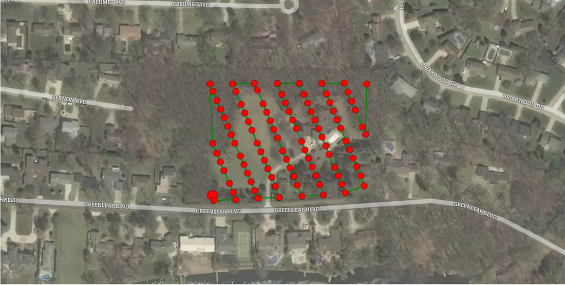
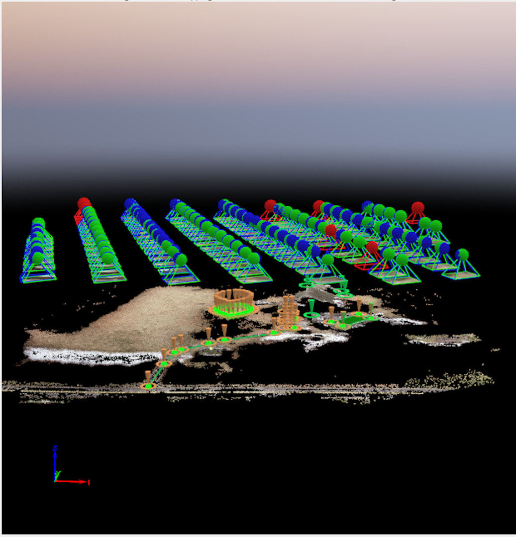
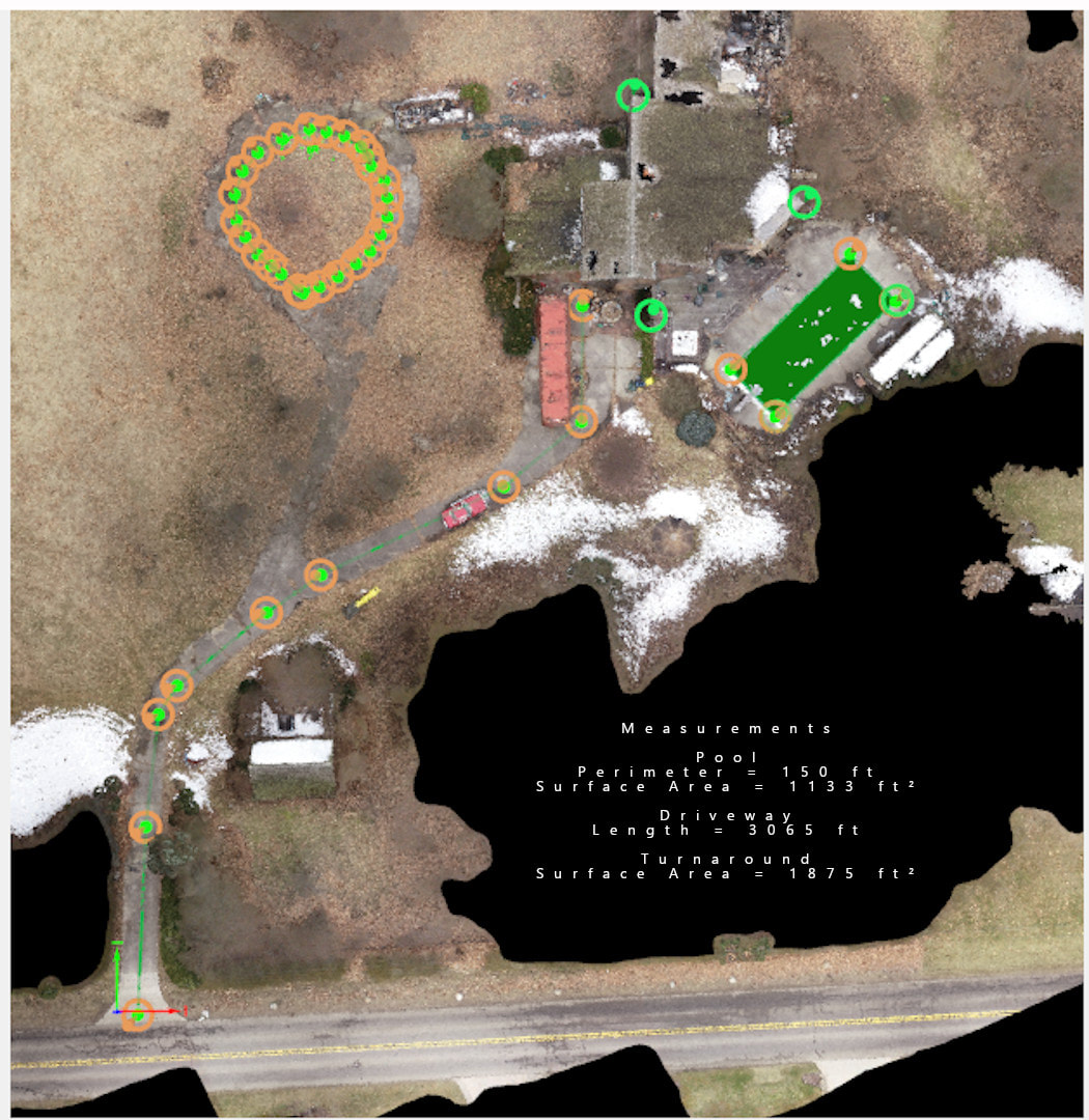

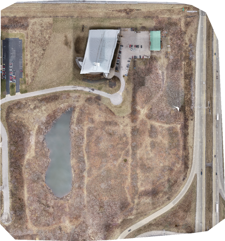
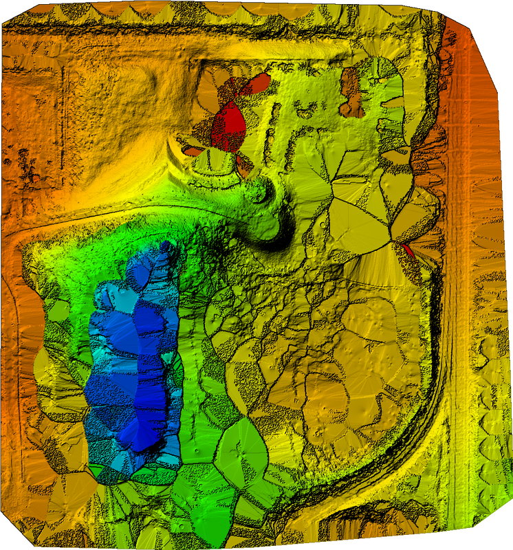
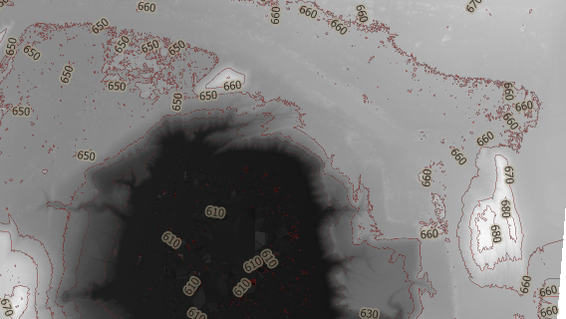
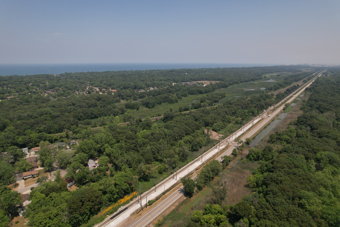
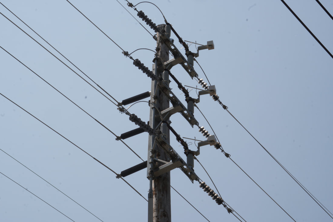
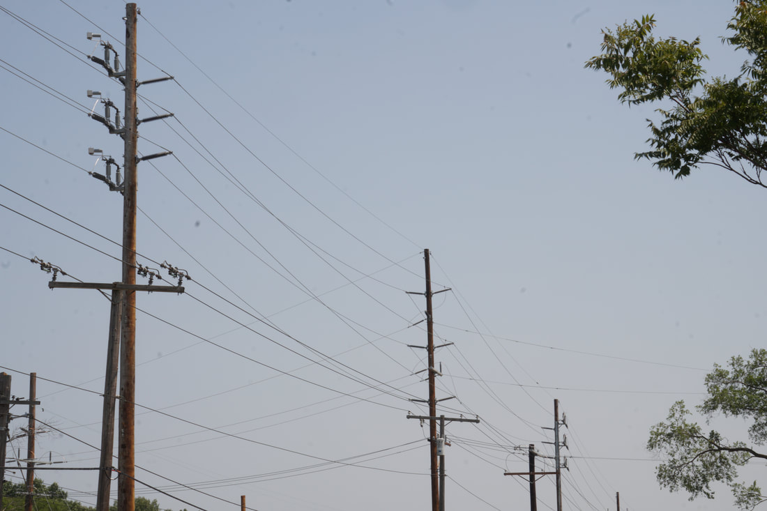
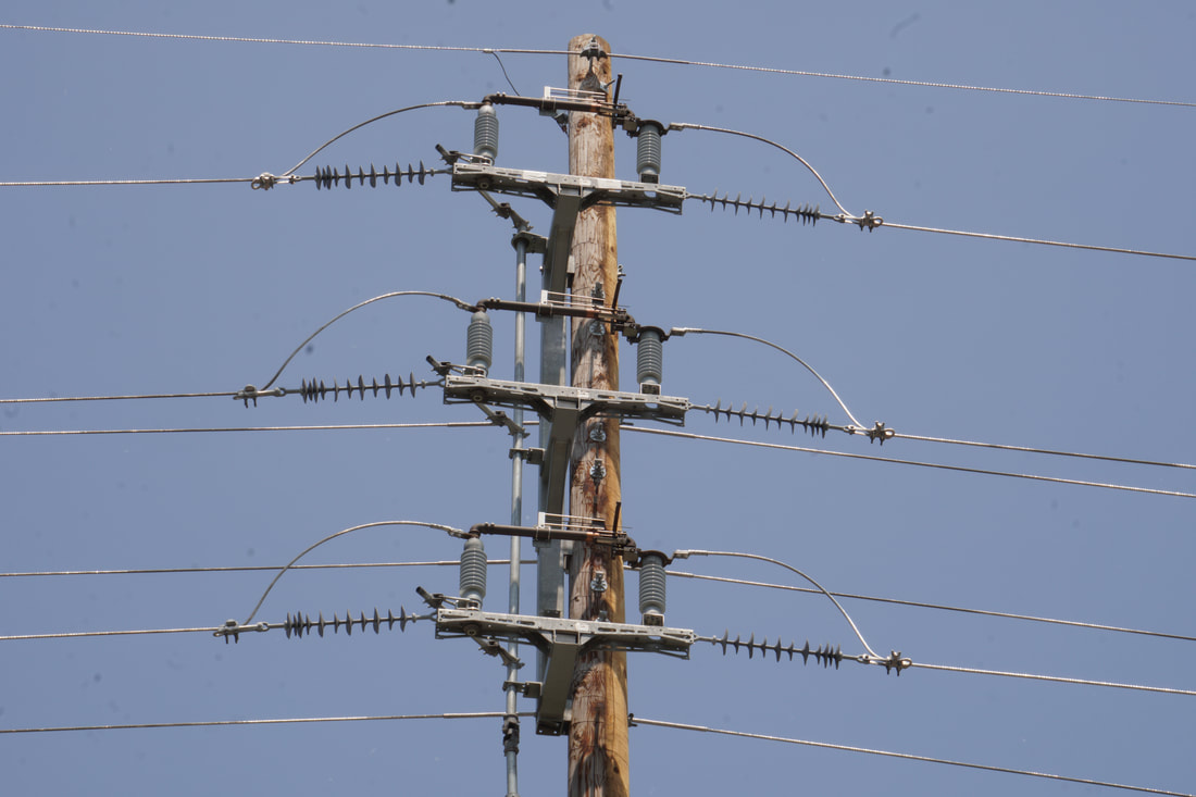
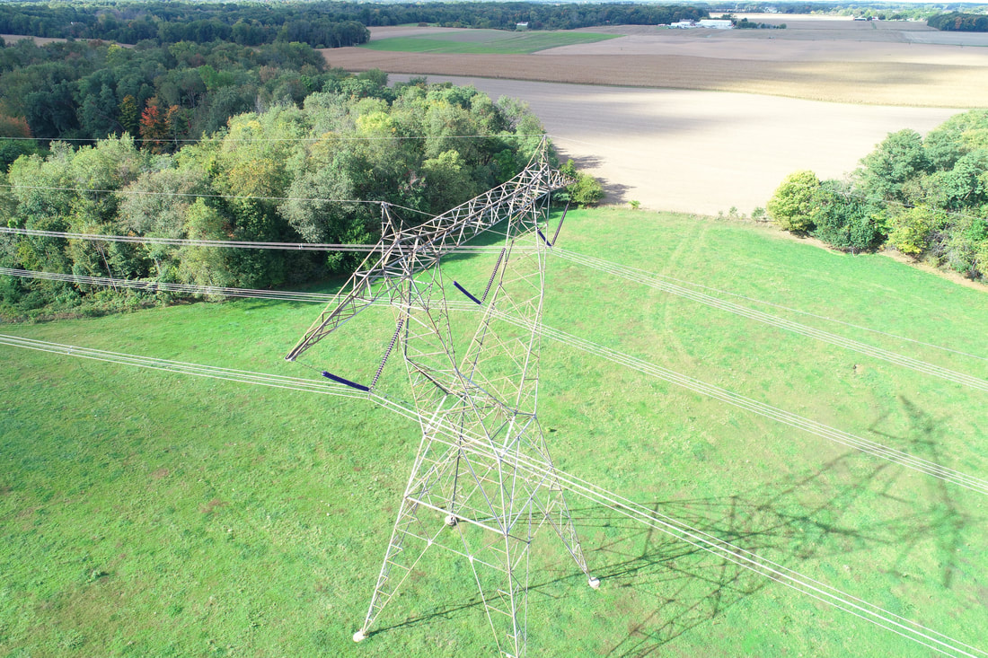
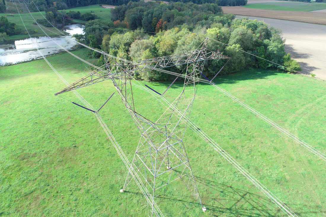
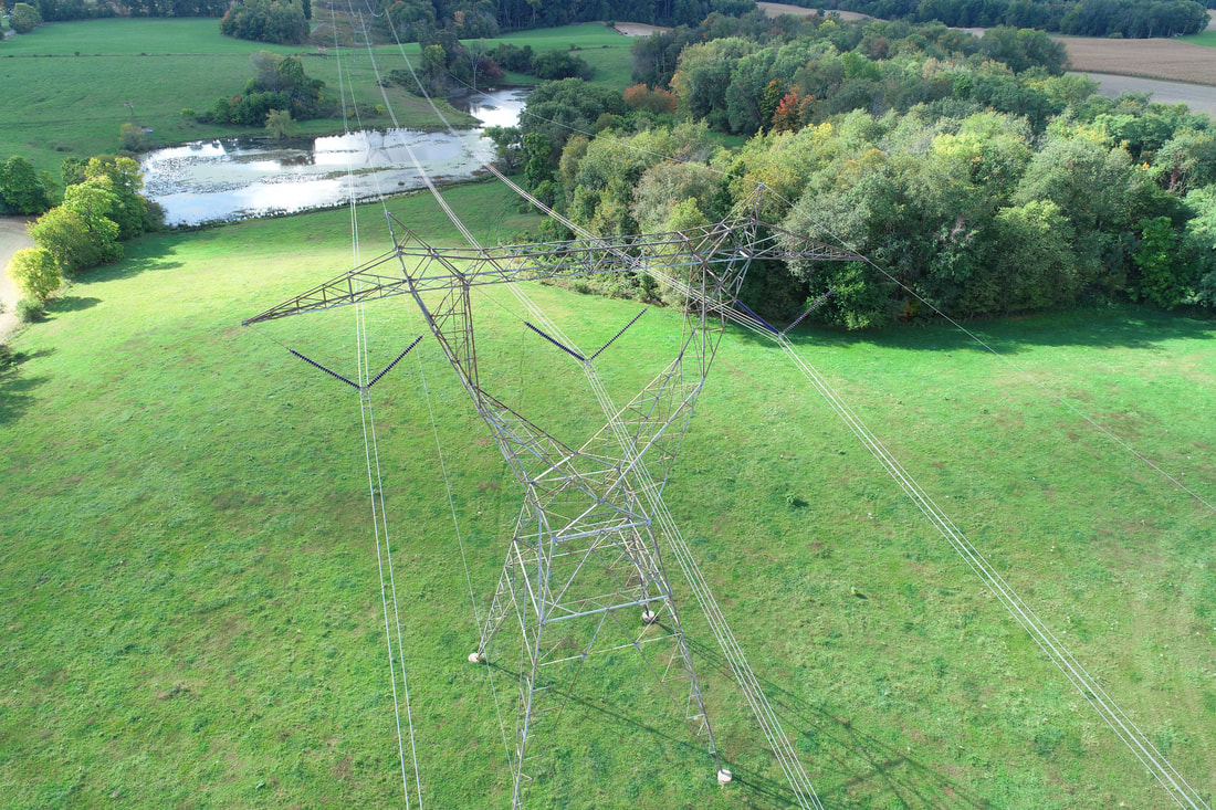
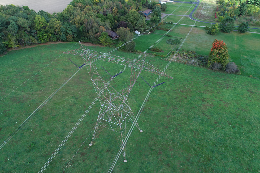
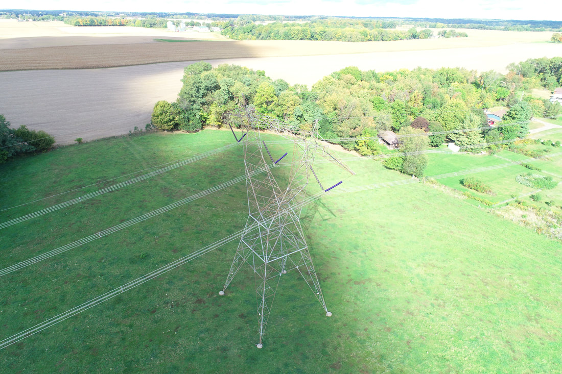
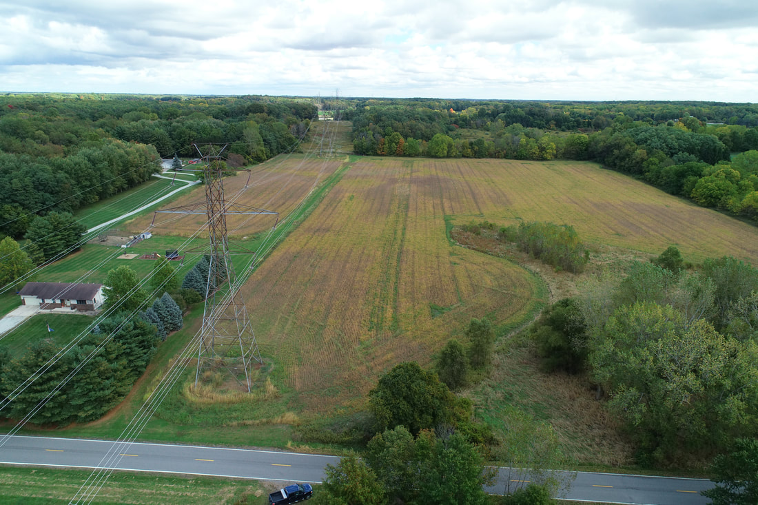
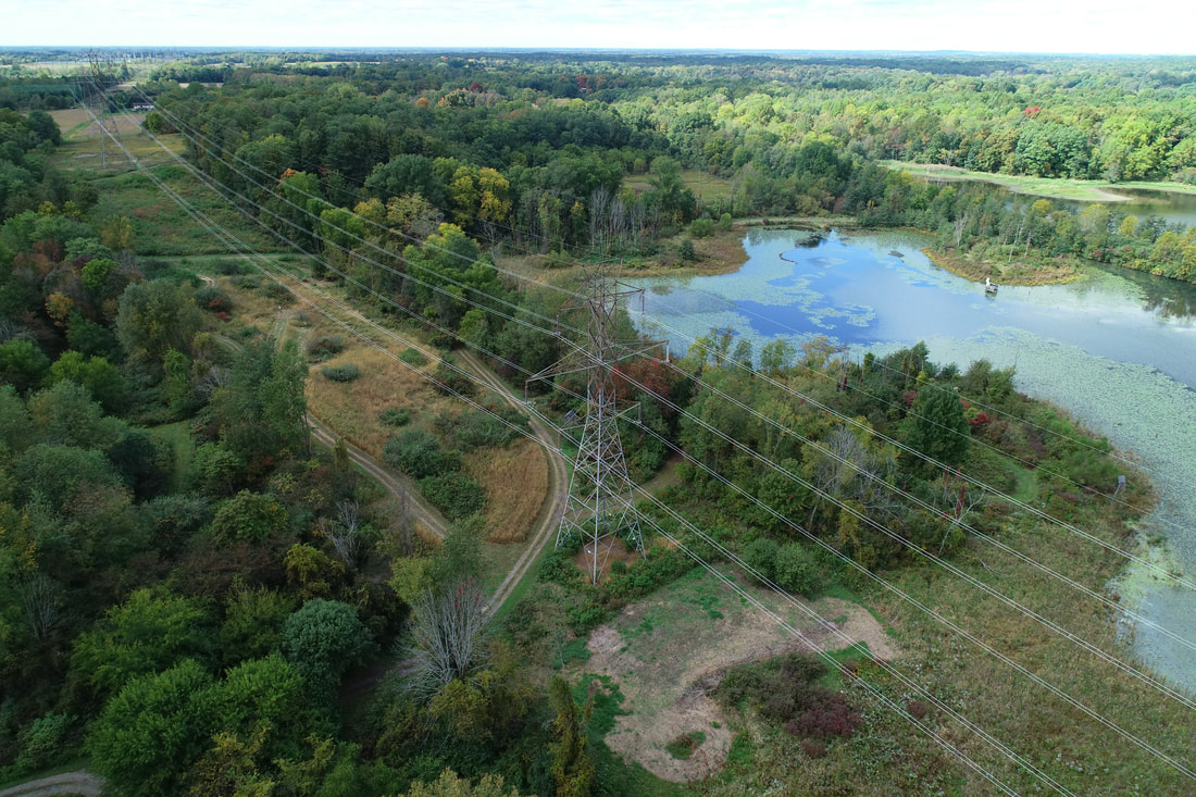
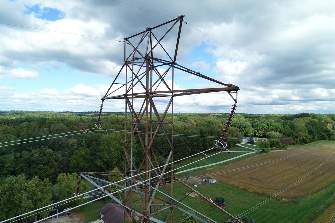
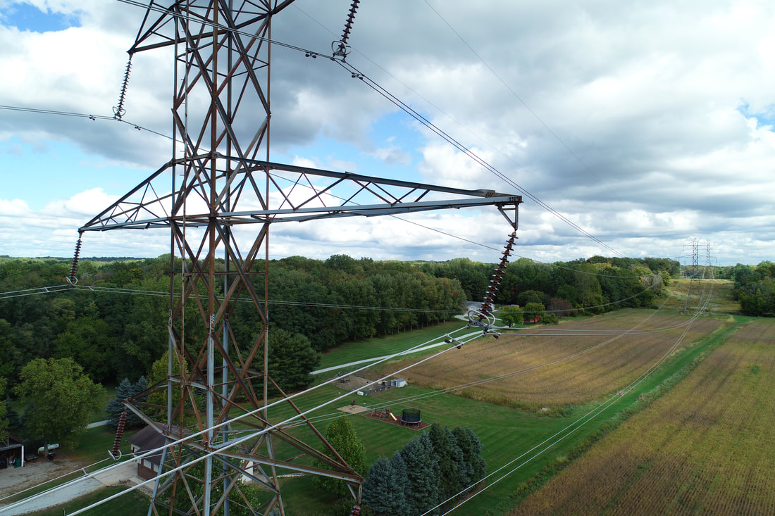
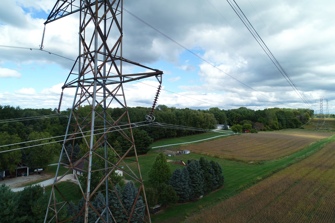
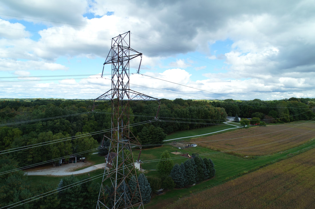
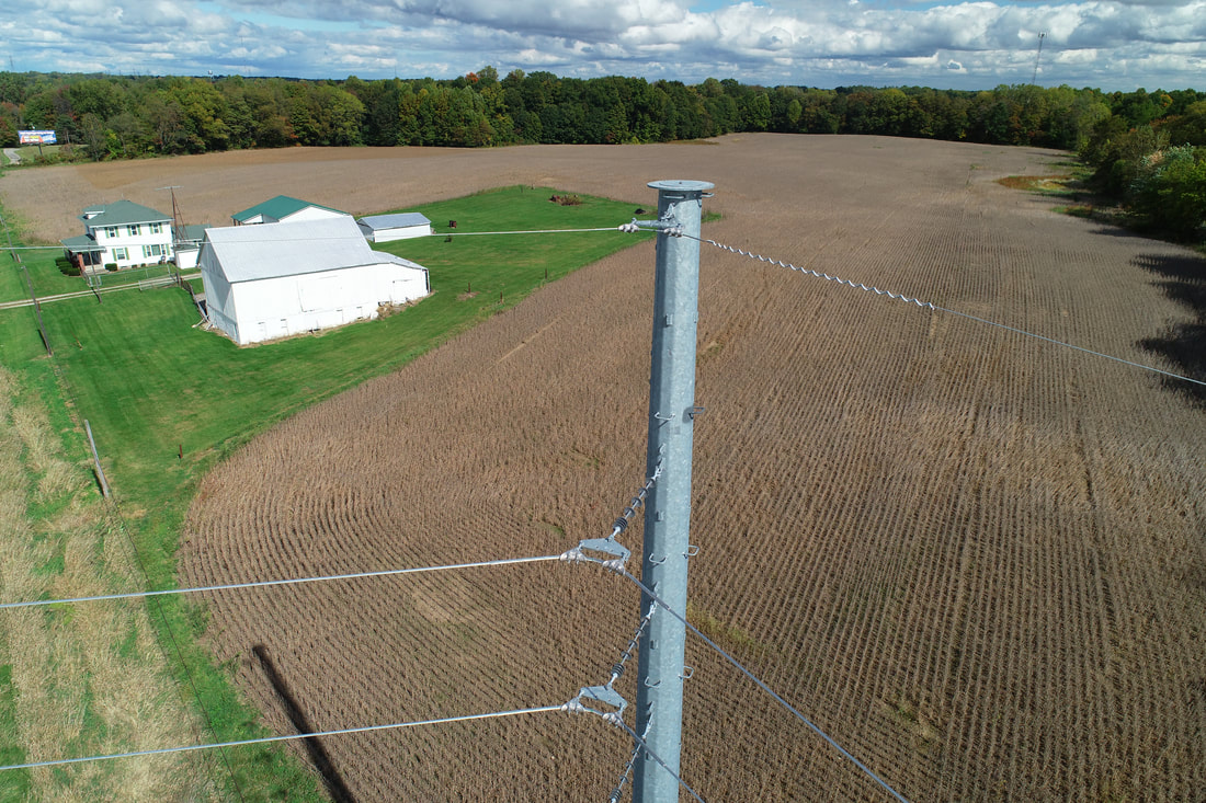
Photo Gallery
Outputs are generated in a variety of file formats.
Video: .mp4, .mov
Photo: .jpg, .jpeg, .png
Point Clouds: .las, .laz, .ply, .xyz
Orthomosaic maps: GeoTiff (.tif), .kml
Contours: .shp, .dxf, .pdf
Digital Terrain Models: GeoTiff (.tif)
Digital Surface Models: GeoTiff (.tif), .xyz, .las, .laz
3D Textured Mesh: .ply, .fbx, .dxf, .obj, .pdf
Video: .mp4, .mov
Photo: .jpg, .jpeg, .png
Point Clouds: .las, .laz, .ply, .xyz
Orthomosaic maps: GeoTiff (.tif), .kml
Contours: .shp, .dxf, .pdf
Digital Terrain Models: GeoTiff (.tif)
Digital Surface Models: GeoTiff (.tif), .xyz, .las, .laz
3D Textured Mesh: .ply, .fbx, .dxf, .obj, .pdf