|
Why I Do What I Do
In the information age, I am continually bewildered by how poorly people communicate. Every day countless decisions are being made on bad data. Too little, too old, too vague. The problem isn’t isolated to just one industry. It’s everywhere. And the result is a significant loss of resources – lost time, lost energy, and lost money. Information Is Key
For many years now I’ve seen my role as an information conduit. When someone has a question, I make it my mission to find them an answer or direct them to the resource where they can find it themselves. The key to success in that mission has been building trust with each person involved. That’s not as easy as it may sound. |
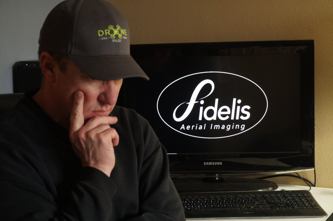
Rob Greathouse
|
Making Connections
It takes a lot of time and patience to convince someone that my goal is to help them to be more effective in their work. I try to help the people I’m working with to grasp the bigger picture. Accessible information leads to better decision making, which leads to the better allocation of resources, which leads to better customer satisfaction, which leads to better results in reaching organizational goals.
It takes a lot of time and patience to convince someone that my goal is to help them to be more effective in their work. I try to help the people I’m working with to grasp the bigger picture. Accessible information leads to better decision making, which leads to the better allocation of resources, which leads to better customer satisfaction, which leads to better results in reaching organizational goals.
Deeper Values
The lesson I’ve learned (and am still learning) is that when I set aside my own, short-term, personal agenda and focus my efforts on equipping others to be successful, I find a great deal of satisfaction in it. As I mentioned before, it doesn’t come easily. I have to be patient. I have to listen well. I have to bite my tongue sometimes. I have to find some measure of humility and grace. But I’m finding that even through all the difficulty, it is so worth it. Not only do I get the opportunity to help solve real problems, but many times I gain new friends in the process.
The lesson I’ve learned (and am still learning) is that when I set aside my own, short-term, personal agenda and focus my efforts on equipping others to be successful, I find a great deal of satisfaction in it. As I mentioned before, it doesn’t come easily. I have to be patient. I have to listen well. I have to bite my tongue sometimes. I have to find some measure of humility and grace. But I’m finding that even through all the difficulty, it is so worth it. Not only do I get the opportunity to help solve real problems, but many times I gain new friends in the process.
Looking Higher
I’ve spent much of my career working to restore power when storm damage causes outages. A few years ago I began exploring how using camera-mounted drones could help inspect power lines in our restoration efforts. What I have learned is that these little machines are absolutely amazing. Most people realize that they are capable of capturing incredible photos and video. But they can do so much more. Using GPS data, altitude, camera angle, and more math than I can account for, the drone imaging can be used to create 3D maps and models with tools available to render precise linear, surface area, and volumetric measurements. The applications for this technology are virtually limitless.
I’ve spent much of my career working to restore power when storm damage causes outages. A few years ago I began exploring how using camera-mounted drones could help inspect power lines in our restoration efforts. What I have learned is that these little machines are absolutely amazing. Most people realize that they are capable of capturing incredible photos and video. But they can do so much more. Using GPS data, altitude, camera angle, and more math than I can account for, the drone imaging can be used to create 3D maps and models with tools available to render precise linear, surface area, and volumetric measurements. The applications for this technology are virtually limitless.
Architecture
Construction
Disaster Response
GIS Mapping
Surveying
Utility Inspections
Construction
Disaster Response
GIS Mapping
Surveying
Utility Inspections
Meeting Your Need
Whether you need photos and video for real estate or marketing, or you want better tools to monitor a construction site, processing time is measured in hours, not days and weeks. Because the data acquired through imaging is digital, it can be easily hosted and shared with anyone, anywhere.
My objective is to empower you to better allocate your resources, improve your productivity, and increase your profitability.
Call to learn how aerial imaging can improve your operations.